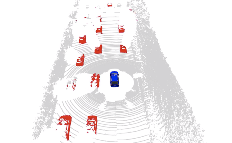
The approach
converts 3D data into segmented 3D data using a range images and leads to accurate labels.
 1
1
Links
- https://www.igg.uni-bonn.de/de/institut/aktuelles/pressearchiv/2022/moving-object-segmentation-in-3d-lidar-data-using-machine-learning/01_moving-object-segmentation.png/image_view_fullscreen
- https://www.igg.uni-bonn.de/de/institut/aktuelles/pressearchiv/2022/moving-object-segmentation-in-3d-lidar-data-using-machine-learning/01_moving-object-segmentation.png/@@download/image/01_moving-object-segmentation.png
